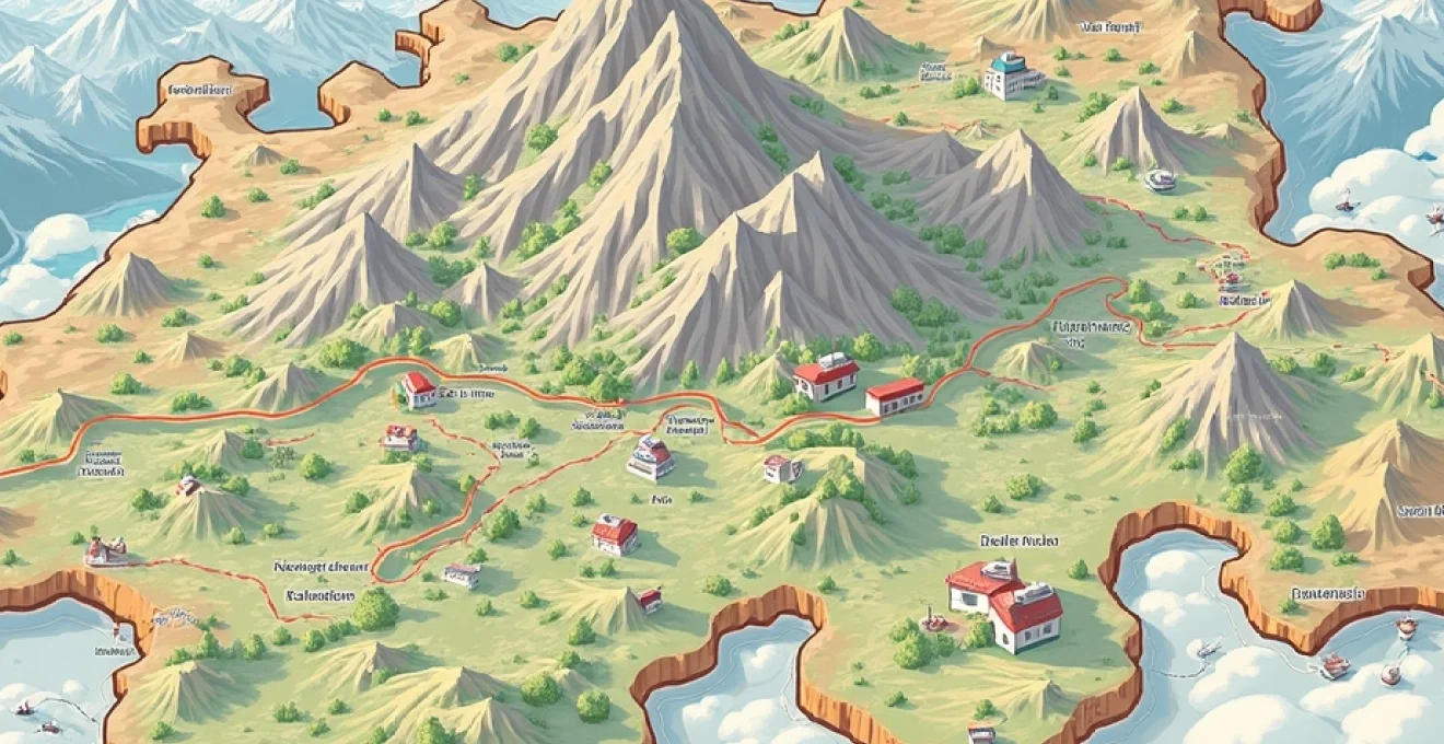
Planning a trip to Switzerland and Austria can be an exhilarating experience, with the promise of breathtaking Alpine scenery, rich cultural heritage, and efficient public transportation systems. However, navigating these mountainous regions requires careful preparation and the right tools. Maps are an essential resource for any traveller venturing into the heart of Europe, offering invaluable insights into terrain, transportation networks, and points of interest. By leveraging both traditional cartography and cutting-edge digital mapping technologies, you can craft an itinerary that maximises your exploration of these stunning countries.
Cartographic resources for Swiss-Austrian trip planning
When embarking on a journey through Switzerland and Austria, having access to high-quality maps is paramount. These countries boast some of the most detailed and accurate cartographic resources in the world, reflecting their long history of precision in mapmaking. For hikers and outdoor enthusiasts, topographic maps are particularly crucial, as they provide essential information about elevation changes, trail difficulties, and potential hazards.
The Swiss Federal Office of Topography, also known as swisstopo, produces exceptionally detailed national maps that are considered the gold standard for Alpine cartography. These maps are available in various scales, with the 1:25,000 series being particularly useful for hikers and mountaineers. Similarly, the Austrian Federal Office of Metrology and Surveying (BEV) offers comprehensive topographic maps that cover the entire country.
For those who prefer physical maps, specialty outdoor stores in both countries stock a wide range of options. However, digital alternatives have become increasingly popular due to their convenience and real-time updating capabilities. Many travellers now opt for a combination of physical and digital maps to ensure they have reliable information even in areas with poor internet connectivity.
Digital mapping tools for alpine route optimization
The advent of digital mapping tools has revolutionized trip planning, offering interactive features that allow you to visualize and optimize your routes with unprecedented ease. These platforms combine traditional cartographic data with user-generated content and real-time updates, providing a comprehensive planning experience.
Swissmobile’s SchweizMobil plus interactive map
SchweizMobil Plus is an invaluable resource for anyone planning outdoor activities in Switzerland. This interactive platform offers detailed maps of hiking trails, cycling routes, and even canoe paths. You can easily plan multi-day trips, calculate distances and elevation profiles, and even book accommodations directly through the platform. The integration of public transport information makes it simple to combine hiking or cycling with train and bus travel.
Austria’s bergfex topographic mapping system
Bergfex is a popular platform among outdoor enthusiasts in Austria, offering detailed topographic maps and trail information. The system allows you to overlay various data layers, including ski slopes in winter and mountain bike trails in summer. One of its standout features is the ability to download maps for offline use, which is crucial when venturing into areas with limited mobile coverage.
Openstreetmap’s specialized alpine layers
OpenStreetMap (OSM) provides a wealth of information for travellers in Switzerland and Austria. The community-driven nature of OSM means that it often includes up-to-date details on local amenities, trails, and points of interest that might not appear on official maps. Specialized layers like OpenCycleMap and OpenSlopeMap cater specifically to cyclists and skiers, respectively.
Google maps’ terrain view and custom routes
While not as specialized as some of the aforementioned tools, Google Maps remains a useful resource for general trip planning. Its terrain view can give you a good overview of the topography, and the ability to create custom routes with multiple stops is handy for planning complex itineraries. The integration with Google Street View can also help you get a feel for certain locations before you arrive.
Navigating public transportation networks
Both Switzerland and Austria boast extensive and efficient public transportation systems, making it possible to explore even remote areas without a car. Understanding how to navigate these networks is key to a smooth travel experience.
Sbb’s swiss travel system map integration
The Swiss Federal Railways (SBB) offers a comprehensive travel planner that integrates all forms of public transport, including trains, buses, boats, and even cable cars. Their interactive map allows you to visualize routes and connections across the country. The Swiss Travel Pass, which offers unlimited travel on most public transport, is an excellent option for tourists planning to explore multiple regions.
ÖBB scotty: austria’s rail and bus planner
In Austria, the ÖBB Scotty platform serves as the primary tool for planning public transport journeys. It covers not only trains operated by the Austrian Federal Railways (ÖBB) but also local bus services and connections to neighbouring countries. The platform’s map view helps you understand the rail network’s layout and identify potential routes between destinations.
Combining regional transport maps for seamless travel
For travel between Switzerland and Austria, it’s often necessary to combine information from multiple transport providers. The European Rail Timetable, available both in print and digital formats, is an excellent resource for planning cross-border journeys. It provides comprehensive schedules for international trains and can help you identify the most efficient routes between Swiss and Austrian destinations.
Topographic considerations for alpine itineraries
When planning trips in mountainous regions, understanding topography is crucial for estimating travel times, assessing trail difficulty, and ensuring safety. Both Switzerland and Austria use sophisticated mapping techniques to represent their complex Alpine terrain.
Interpreting contour lines on swiss national maps
Swiss national maps are renowned for their accuracy and detail. Contour lines on these maps are typically drawn at 20-meter intervals, with every fifth line emphasized for easier reading. Understanding how to interpret these contour lines is essential for gauging the steepness of trails and planning routes that match your fitness level.
Mastering the art of reading contour lines can transform your hiking experience, turning a daunting maze of squiggles into a clear picture of the landscape that awaits you.
Austrian alpine club’s (ÖAV) specialized hiking maps
The Austrian Alpine Club produces a series of specialized hiking maps that cover popular mountainous regions. These maps often include additional information such as estimated hiking times, difficulty ratings for trails, and locations of mountain huts. The level of detail provided makes them indispensable for anyone planning serious hiking or mountaineering activities in Austria.
Identifying safe routes through glacier terrain
For advanced hikers and mountaineers, both countries offer specialized maps for glacier travel. These maps indicate crevasse fields, ice falls, and recommended routes across glaciers. It’s important to note that glacier conditions can change rapidly, so these maps should always be used in conjunction with current local information and expert guidance.
Cultural and historical mapping for enhanced experiences
While topographic maps are crucial for outdoor activities, thematic maps focusing on cultural and historical aspects can greatly enrich your travel experience. These resources help you discover hidden gems and understand the context of the places you’re visiting.
UNESCO world heritage site locations in switzerland and austria
Both Switzerland and Austria boast numerous UNESCO World Heritage Sites, ranging from ancient monasteries to entire city centers. Specialized maps highlighting these locations can help you incorporate visits to these significant sites into your itinerary. Many of these maps also provide historical context and suggested routes for exploring the sites.
Mapping the hapsburg empire’s historical landmarks
Historical maps tracing the extent and influence of the Habsburg Empire can provide fascinating insights into the shared cultural heritage of Austria and parts of Switzerland. These maps often highlight palaces, fortifications, and other architectural remnants of this once-mighty empire, offering a unique perspective on the region’s history.
Culinary map overlays for regional specialties
For food enthusiasts, culinary maps can be an exciting way to explore local gastronomy. These maps often highlight regions known for specific cheeses, wines, or other specialties. In Switzerland, for example, you might find maps detailing the production areas of different types of cheese, while in Austria, maps might focus on wine regions or areas famous for particular dishes.
Seasonal map variations for Year-Round trip planning
The Alpine landscape transforms dramatically with the seasons, and so do the activities available to visitors. Seasonal maps help you plan trips that make the most of what each time of year has to offer.
Winter sports maps for ski resorts like st. moritz and kitzbühel
Winter sports enthusiasts will find detailed maps of ski areas invaluable. These maps typically show ski runs color-coded by difficulty, locations of lifts and cable cars, and important facilities like restaurants and first aid stations. For renowned resorts like St. Moritz in Switzerland or Kitzbühel in Austria, these maps are essential tools for navigating the extensive slope networks.
Summer hiking trail networks in graubünden and tyrol
Summer hiking maps for regions like Graubünden in Switzerland or Tyrol in Austria offer a wealth of information for walkers and hikers. These maps often include details on trail difficulty, estimated walking times, and points of interest along the routes. Many also highlight mountain huts where hikers can rest or stay overnight, making it easier to plan multi-day treks.
Shoulder season accessibility maps for alpine passes
The shoulder seasons of spring and autumn present unique opportunities and challenges for travellers. Maps indicating the opening dates of Alpine passes and the accessibility of higher-altitude areas are particularly useful during these periods. These resources can help you plan routes that take advantage of the quieter seasons while ensuring you don’t encounter unexpected closures.
By utilizing these diverse mapping resources, you can craft a journey through Switzerland and Austria that is both well-planned and flexible. From navigating complex public transport systems to discovering hidden cultural gems, maps are your key to unlocking the full potential of your Alpine adventure. Remember that while digital tools offer convenience and up-to-date information, having a physical map as a backup is always a wise precaution in mountainous terrain. With careful planning and the right cartographic aids, your trip through these stunning countries is sure to be an unforgettable experience.